For immediate release
For more information, contact
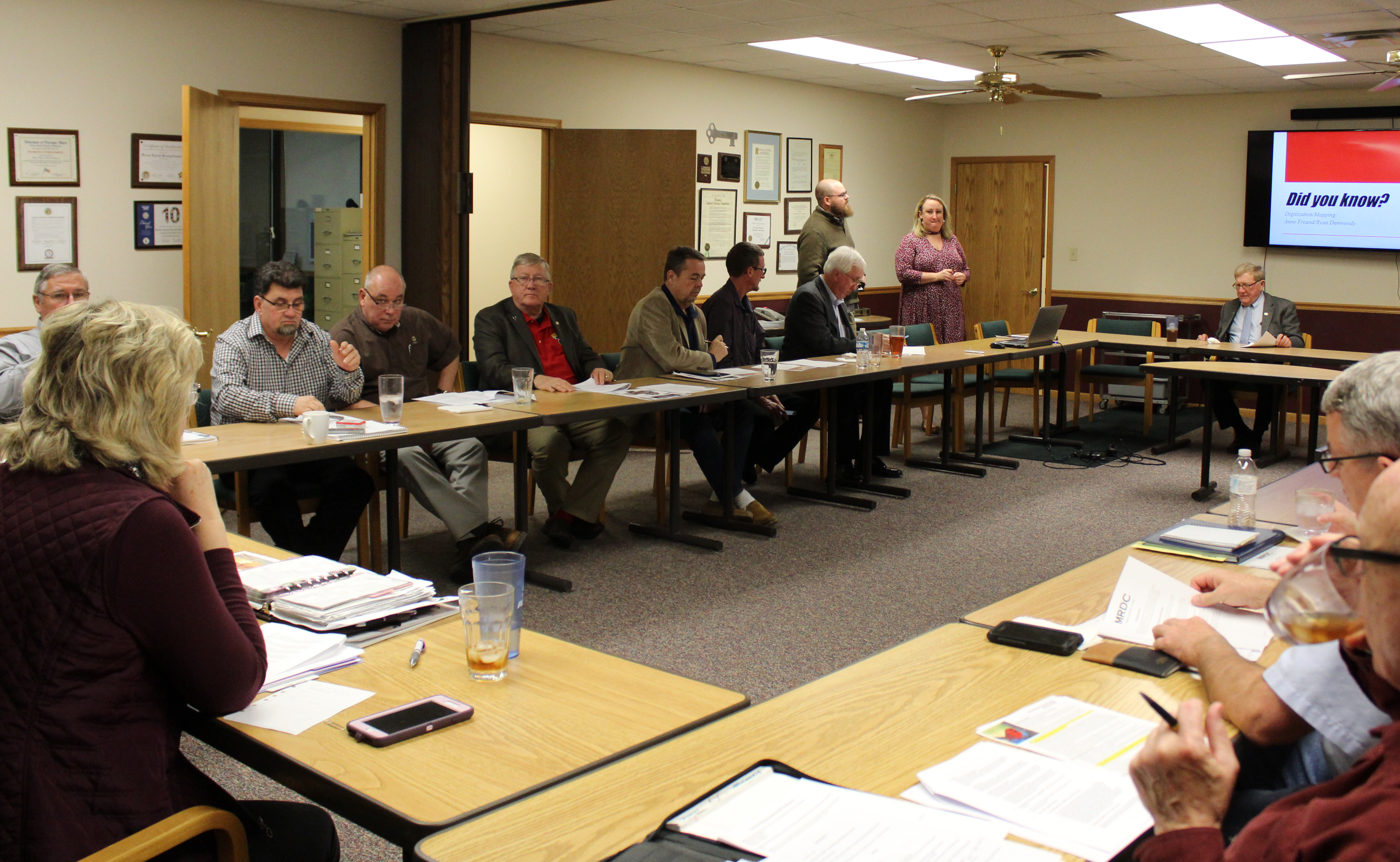
ST. JAMES—Did you know that Meramec Regional Planning Commission (MRPC) offers Geographic Information System (GIS) mapping services? Senior Community Development Specialist Anne Freand and Environmental Programs Specialist Ryan Dunwoody informed the MRPC board about these services that MRPC can offer at the board meeting on Feb. 15.
GIS mapping integrates many different types of data by overlaying it in relation to geographical location. It analyzes spatial location and organizes layers of information into visualizations using maps and 3D scenes. GIS reveals deeper insights into data, such as patterns, relationships and situations.
MRPC has the ability to do local maps (zoning, future land use maps, etc.), census data mapping, crime data mapping, crash statistics, story maps (economic development), sidewalk conditions/ADA transition maps, local floodplain maps and ward/district maps. MRPC can create any map based on information that has a spatial data component.
“Mapping is an important component of city and county planning because it can quickly convey a message to elected officials and citizens without having to read multiple paragraphs,” Freand said. “Maps also depict a variety of pertinent information regarding a community such as points of interest, demographic data and other relevant statistics that are useful in the planning or budgeting processes.”
MRPC staff recently assisted the city of Steelville with a zoning map and a utilities map.
In other business, the MRPC board:
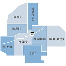
Formed in 1969, MRPC is a voluntary council of governments serving Crawford, Dent, Gasconade, Maries, Osage, Phelps, Pulaski and Washington counties and their respective cities. A professional staff of 23, directed by the MRPC board, offers technical assistance and services, such as grant preparation and administration, housing assistance, transportation planning, environmental planning, ordinance codification, business loans and other services to member communities.
To keep up with the latest MRPC news and events, visit the MRPC website at www.meramecregion.org or on Facebook at www.facebook.com/meramecregion/.
-30-